


Geographic Information Science (GISc)
NOAA Fellowship opportunity for Incoming MS GIS students for tuition and living expenses (US Citizens only). Apply NOAA CESSERT.
Contact Prof. Elia Machado (elia.machado@lehman.cuny.edu) if you are interested in the fellowship above or any of our Geography and/or GISc programs.
Geographic Information Science (GISc) is a fast growing computer technology field involving mapping, visualization, and analysis of spatial data. Geographic Information Systems (GIS) enable us to assess, manage, and better understand issues with a spatial dimension such as climate change, environmental justice, disease epidemics, conservation and environmental degradation, crime, housing and real state, and emergency management.
- GISc is projected by the US Department of Labor to be one of the fastest-growing fields, and it is difficult to imagine a field that has not already been impacted by GISc.
- Most of our students complete an internship to jumpstart their careers. Internship hosts include many local agencies, NASA, NOAA, and Columbia University, among others.
- Our graduates work at: US Census bureau, US EPA, NASA, US Forest Service, New York Police Department, NYC Office of Emergency Management, NYC Parks Department, and NYC Department of Transportation, among other places.
- Potential positions include: GIS Technician and Analyst, Data Scientist, Cartographer, and Business Intelligence Analyst.
We offer undergraduate and graduate programs in GISc including GISc certificates at both levels and a MSc in GISc.
Apply here.
- M.Sc. in Geographic Information Science (GISc) (40 credits); catalog link. You can apply as a matriculated or non-matriculated student.
- FAQ document; more info; course descriptions.
- Advanced Certificate in GISc (17-20 credits): catalog link.
- Tuition information.
Apply here.
- B.A. in Geography with a concentration in GISc (28 credits); catalog link.
- Minor in Geographic Information Science (GISc) (14 credits).
- Geographic Information Science (GISc) Certificate (17 credits), catalog link.
Students are not required to be completing a major to apply to the certificate program.
Accelerated Bachelor's to Master's Program (PDF).
- Earn a Bachelor's in Earth Science, Environmental Science, or Geography and Master's degree in GISc in five years of full-time study!
- The requirements for completion are identical to those for completion of two separate degrees. However, because 12 credits of coursework taken for the bachelor’s degree can be at the graduate level (500- and 600-level courses), and count towards the graduate degree, students are able to complete the course requirements for both degrees in five years.
- Students will graduate with a Bachelor's degree if, for any reason, they decide not to complete the fifth year for the Master’s.
- Before being considered for this Accelerated Degree program, students must have already completed at least one GISc course at the undergraduate level and received a B+ or better, with at least an 3.0 GPA overall.
- Students are encouraged to declare their interest in the program as soon as possible upon completing 60 undergraduate credits. Early in the junior year, or upon completing 60 undergraduate credits.
- Qualified students transferring from other senior or community colleges are also eligible to apply for this program, including those from La Guardia Community College with an AS degree in “Environmental Science and Geospatial Technology,” or Bronx Community College students with an AAS degree in “Geospatial Technology.”
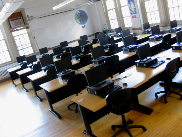 The GISc Lab at Lehman College is located in Gillet Hall, room 322. A full time College Laboratory Technician is available to maintain the facilities and provide technical assistance, and Lab Tutors are on hand to work with students (hours vary by semester).
![]()
The Urban GISc Research Lab
The Urban GISc Lab at Lehman College is located within the Department of Earth, Environmental, and Geospatial Sciences, and focuses on exploring the urban environment through Geographic Information Science. Current research concentrates on spatial analyses of urban environmental burdens, environmental justice, health disparities, health and the built environment, urban demographics, and the connections between social and environmental conditions. Our aim is to provide the data, analyses, and findings to inform local communities and policy-makers in order to help make constructive changes in the Bronx and improve health and the urban environment.
We also frequently lend our expertise to local community-based organizations to assist with spatial analyses and data acquisition/integration, and for Public Participatory GISc (PPGIS), involving environmental health justice advocacy, historical and cultural preservation, and risk analysis and exposure assessment of vulnerable populations. Although much of our work is New York City-based, and often specifically in the Bronx, we have also worked collaboratively with researchers in other cities around the world. We have developed a number of innovative methodological advancements, which have since been used by other researchers and transferred to other locations.
The Urban GISc Lab is a participating partner in NOAA-CREST, the Cooperative Center for Remote Sensing and Technology at City College of New York, CUNY.
- Harnessing the Power of Free Data Continually updated Google Doc of GIS resources from the Pratt Center for Community Development
- Working With GIS Data Syracuse University guide with free open-source software resources and more
- Accelerated Bachelor's/Master's Program in Earth, Environmental, and Geospatial